

- Delivery and returns info
-
Free UK delivery on orders £30 or over
Description
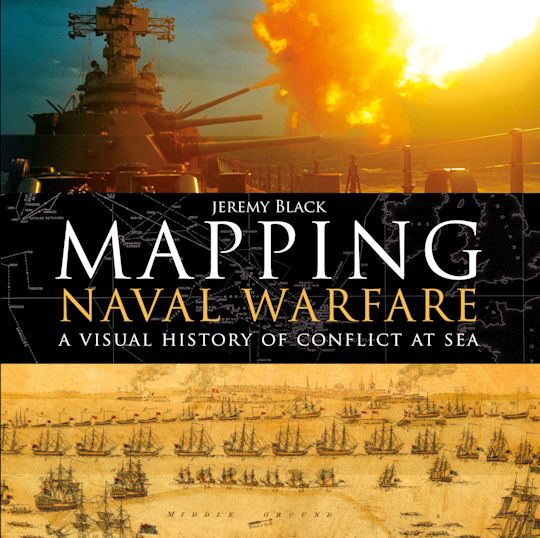
A visually stunning account of how naval conflict was recorded and planned, using contemporary mapping.
Naval operations and warfare were, and remain, a key element for mapping. Maps were vital for commanders in drawing up plans of attack, and their detail and usefulness have increased over the centuries as the science of mapping has developed.
This beautiful book examines stunning original maps from a series of key conflicts from the Spanish Armada, the American Wars of Independence, and the Napoleonic wars to twentieth century conflicts from the First World War to Vietnam, and explains how they were represented through mapping and how the maps produced helped naval commanders to plan their strategy.
Table of Contents
2. The Eighteenth Century
3. The Nineteenth Century
4. 1900 To 1918
5. 1919 To 1945
6. 1946 To 2017
Index
List Of Maps And Illustrations
Image Credits
Product details
| Published | 19 Oct 2017 |
|---|---|
| Format | Hardback |
| Edition | 1st |
| Pages | 192 |
| ISBN | 9781472827869 |
| Imprint | Osprey Publishing |
| Dimensions | 280 x 280 mm |
| Series | General Military |
| Short code | GNM |
| Publisher | Bloomsbury Publishing |

Resources
Book Vote
Tell us what titles you would like to see published by Osprey, then vote for your favourites in our monthly book vote!
Related Titles